The PR has progressed to a stage where exporting with an IfcProject is now possible.
Here is the example IFC created:
[ ... snip ... ]
#19=IFCUNITASSIGNMENT((#13,#14,#15,#18));
#20=IFCDIRECTION((0.,1.,0.));
#21=IFCGEOMETRICREPRESENTATIONCONTEXT($,'Model',3,1.E-05,#9,#20);
#22=IFCGEOMETRICREPRESENTATIONSUBCONTEXT('Body','Model',*,*,*,*,#21,$,.MODEL_VIEW.,$);
#23=IFCCOORDINATEREFERENCESYSTEM('EPSG:28356','Australia - 150\X4\000000B0\X0\E to 156\X4\000000B0\X0\E','GDA94','AHD');
#24=IFCMAPCONVERSION(#21,#23,334902.775,6252274.139,4.,1.,0.,0.001);
#25=IFCPROJECT('c3ac687d_f98c_405c_bdf',#5,'SOH','An iconic stage near the Sydney harbour','','Sydney Opera House','Concept Design',(#21),#19);
#26=IFCCARTESIANPOINT((0.,0.));
#27=IFCAXIS2PLACEMENT2D(#26,#6);
#28=IFCRECTANGLEPROFILEDEF(.AREA.,'rectangular',#27,1.,0.2);
#29=IFCCARTESIANPOINT((0.5,-2.72848410531879E-18,0.));
#30=IFCAXIS2PLACEMENT3D(#29,#7,#6);
#31=IFCEXTRUDEDAREASOLID(#28,#30,#7,3.);
#32=IFCCOLOURRGB($,0.839215695858002,0.839215695858002,0.839215695858002);
#33=IFCSURFACESTYLERENDERING(#32,$,$,$,$,$,$,$,.FLAT.);
#34=IFCSURFACESTYLE($,.BOTH.,(#33));
#35=IFCPRESENTATIONSTYLEASSIGNMENT((#34));
#36=IFCSTYLEDITEM(#31,(#35),$);
#37=IFCLOCALPLACEMENT($,#9);
#38=IFCSHAPEREPRESENTATION(#22,'Body','SweptSolid',(#31));
#39=IFCPRODUCTDEFINITIONSHAPE($,$,(#38));
#40=IFCWALL('2w90hisO14jeiFob5V2vbO',#5,'Wall','',$,#37,#39,$,.MOVABLE.);
[ ... snip ... ]
You will notice:
- You can set all attributes of the IfcProject
- There is a map conversion and target CRS linked to the main geometric representation
- The main geometric representation is now a ‘Model’, which has a sub geometric representation of a .MODEL_VIEW., this is what objects are linked to (see #38 which links to #22)
If you choose not to create an IfcProject element, it will generate one for you as per the old behaviour of FreeCAD. This generated IfcProject will not contain any map conversion like the old behaviour. However, it will have the proper subrepresentation.


There are still many things to fix, such as:
- Import functionality not working yet Done
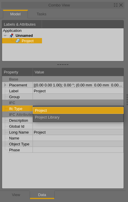
- Doesn’t work with project library, only projects
- It needs to be a projected CRS, not a regular CRS, and Meter needs to be a unit type Done
- True north isn’t calculated
- Better UI: shouldn’t ask the user to input X axis abscissa / ordinate
- Better UI: should have preset list of EPSG standards like QGIS
- It should detect name from the label, and shouldn’t have a name attribute Done
- Better handling of GUID attribute Done for now
- Bug related to exporting the serialised complex attributes - need to check it out Done